QLD 6862-3 For Discount
Description
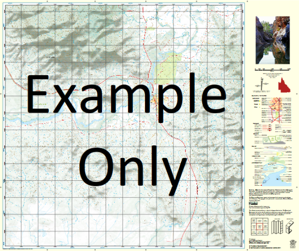
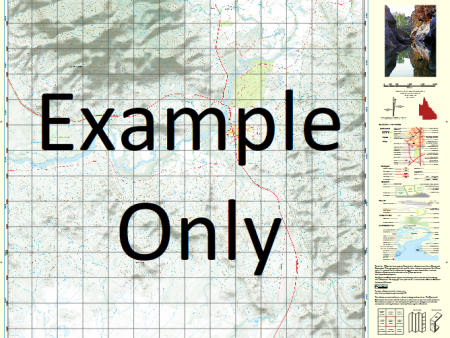
This Topographic Map is produced by the Department of Natural Resources and Mines (DNRM), part of the Queensland Government.
This product is continously updated with the latest information available. New editions are generally published in Oct Nov each year, however minor updates are constantly being included.
DNRM maps are produced automatically by computers, with minimal human oversight; so some duplication of information and occasional minor cartographic inconsistencies can be found.
The PDF version of this can be printed at home or sent to a professional printer for a 100% scale reproduction.
At this scale, 2cm on this map represents 1km on the ground. A standard map (which is square) covers an area of approximately about 25km by 25km, with a contour interval of 10m. This map contains natural and constructed features including road and rail infrastructure, vegetation, hydrography, contours, localities and some administrative boundaries.
Yarrum Armraynald Bohemia Waterhole Bullock Waterhole Burke Crooked Creek Crooky Creek Dingo Waterhole Fareham Harris Creek Harris Lake Honeymoon Lagoon Judy Lagoon Millar Creek Millars Point Waterhole Millar Pear Tree Waterhole The Lake Timor Lagoon Woody Creek Burketown Jerrys Lagoon Judys Lagoon Millers Point Waterhole Armraynald Bore
Additional Information
| Title | Paper, Laminated, Pdf Download |
|---|
Related products


linknorthshoreus.shop © 2025 All Rights Reserved